Palau Islands 1:40,000, AMS W752, 1943
Permanent URI for this collection
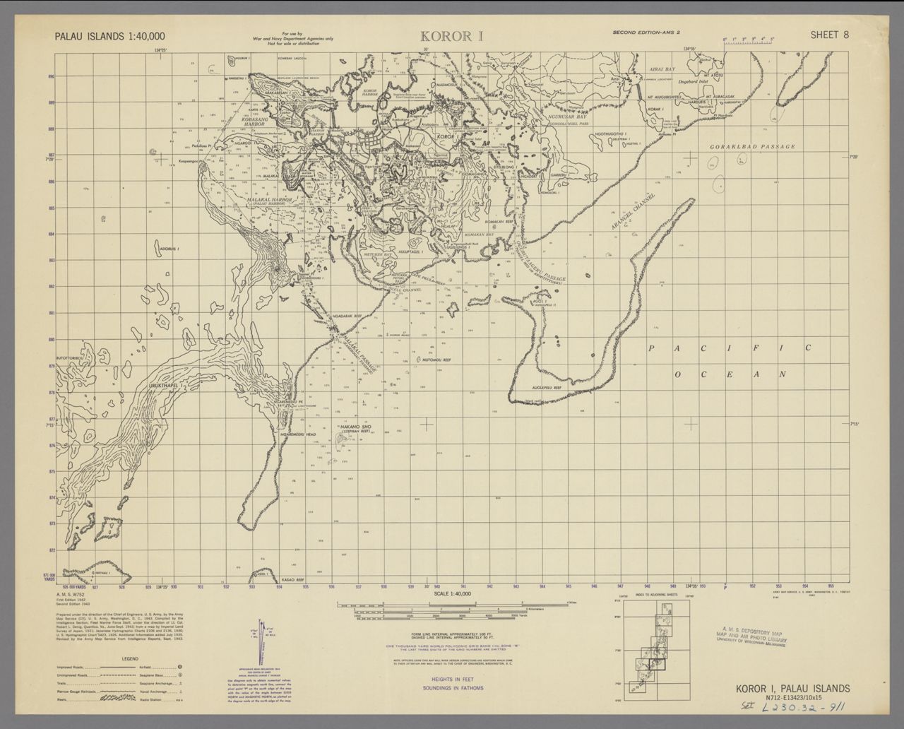
Palau Islands 1:40,000, AMS W752, 1943. Scale 1:40,000. 10 maps. 47 x 70 cm or smaller. Complete in 10 sheets. Each sheet is numbered individually. Military grid. "Form line interval approximately 100 ft. ... Soundings in fathoms." Includes index to sheets. "Compiled June-September 1934, additional information added July 1935." Second edition "compiled by the Intelligence Section, Fleet Marine Force Staff ... June-Sept. 1943." Relief shown by soundings, spot heights, and form lines. Shows roads, trails, villages, reefs, and islands.
Click here for an interactive index map to this set.
For more information, visit Manoa MAGIS