
Chuuk, Federated States of Micronesia 1:25,000, USGS, 1996-1997
Permanent URI for this collectionhttps://hdl.handle.net/10524/75638
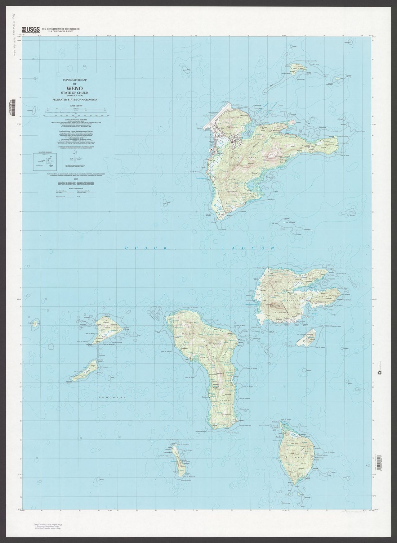
Topographic map of the State of Chuuk (formerly Truk), Federated States of Micronesia / produced by the United States Geological Survey. Scale 1:25,000 ; Universal transverse Mercator projection, (E 151⁰55'00"--E 152⁰03'00"/N 7⁰30'00"--N 7⁰16'30"). There are 9 maps : color ; on sheets 100 x 59 cm or smaller. Topographic maps of Meseong, Neoch, Piis Moen, Ruo, Tol, Tol South, Unikappi, Weno, and Wonno. Depths shown by contours and soundings. "Projection and 1000 meter-grid: Universal transverse Mercator, zone 56." "This information is not intended for navigational purposes." Includes location map. "NIMA 4544 II SE-Series W856; NIMA 4544 II NE-Series W856; NIMA 4543 I NE-Series W856; NIMA 4543 I SE-Series W856."
Click here for an interactive index map to this set.
For more information, visit Manoa MAGIS