
Trust Territory of the Pacific Islands : Miscellaneous Aerial Photographs and Maps [in progress]
Permanent URI for this collectionhttps://hdl.handle.net/10524/73239
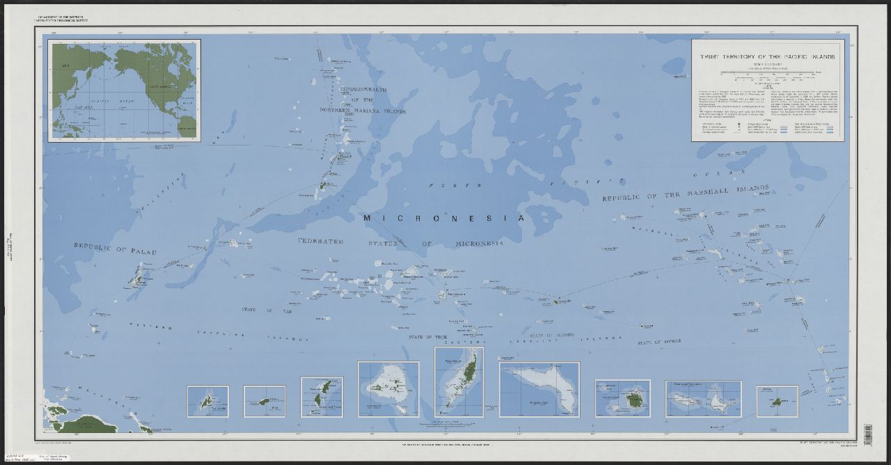
This is a temporary holding place for Trust Territory of the Pacific Islands (TTPI) Archives maps and aerial photos. It is joint project among the Pacific Collection, Map Collection, and the Preservation Department to digitize extant maps and aerial photographs from the TTPI Archives. Records and metadata are preliminary and incomplete.
For more information, visit Manoa MAGIS