
Early and Historical Maps
Permanent URI for this collectionhttps://hdl.handle.net/10524/49371
For more information about Maps, Aerial Photographs, and GIS, visit MAGIS
Browse
Recent Submissions
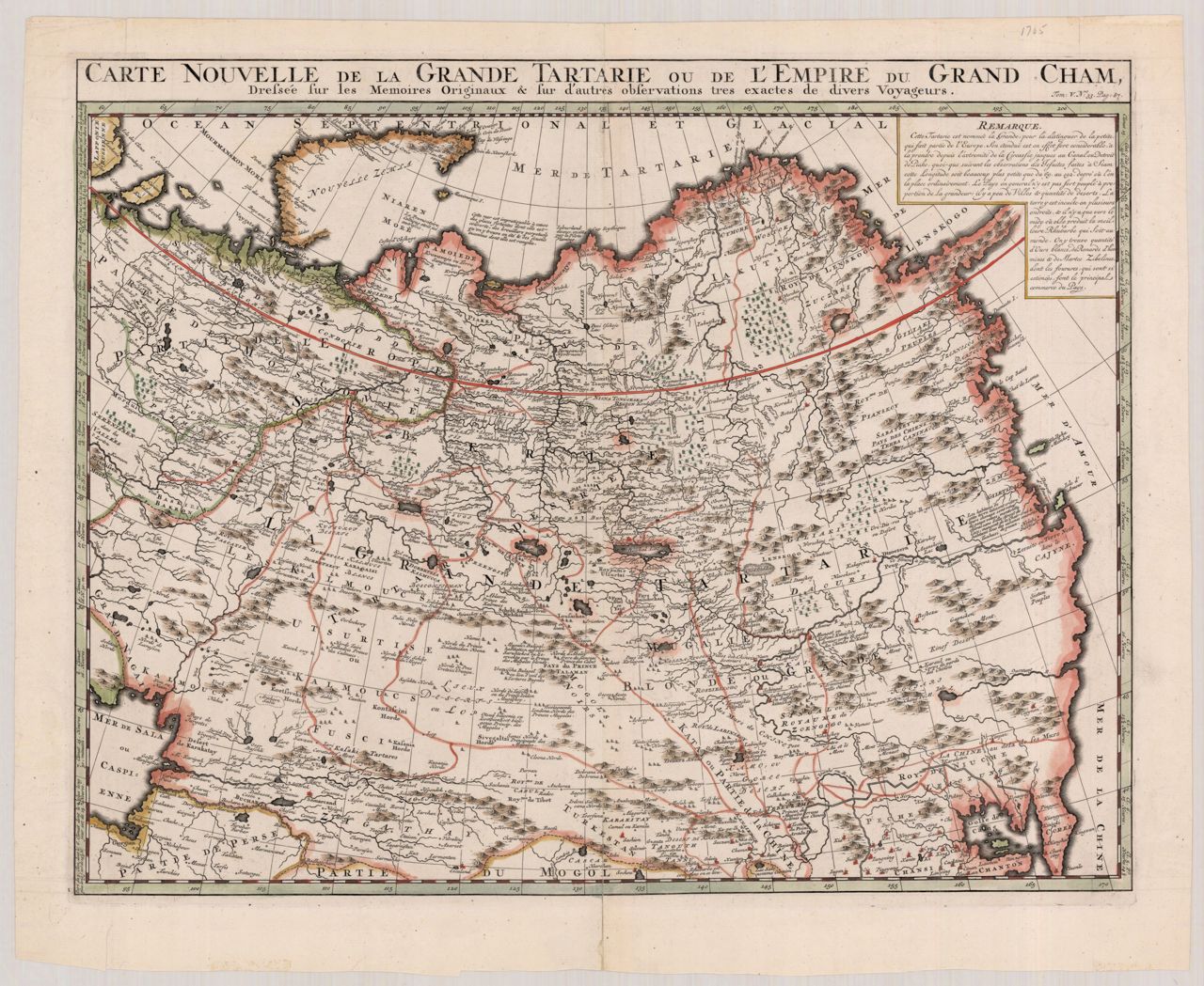
Item Tartaria(J. Hondius, [between 1606 and 1628]) Hondius, Jodocus, 1563-1612Item The Hawaiian Islands(1919) Newton, H. E.; Hawaii Territory SurveyItem Hawaiian Exhibit, Alaska-Yukon-Pacific Exposition, Seattle, Washington, 1909 : the crossroads of the Pacific(U.S. Geological Survey, 1909) Geological Survey (U.S.); Hassan, A. F.Item Indes orientalles ou du Gange([publisher not identified], 1643) Boisseau, Jean, active 1637-1658Item Aloha, a pictorial map of the Hawaiian Islands : the United States' 50th State(Ernest Dudley Chase, 1960) Chase, Ernest Dudley, 1878-1966Item Philippinae Insulae(1618) Bertius, Petrus; Hondius, JodocusItem Les Isles Philippines 1684(1685) MalletItem Insulae Philippinae(1600) Bertius, Petrus; Claesz, CornelisItem A chart of the channel in the Phillippine Islands through which the Manila Galeon passes together with the adjacent islands(Printed for the author; by John and Paul Knapton, in Ludgate-Street, 1748) Anson, George Anson, Baron, 1697-1762Item [Spice Islands -- Celebes, Gilolo, etc.](1788) Bagay, CiprianoItem Map of Honolulu(Norris Peters Co., 1893) Emerson, Oliver P.; Carter, Charles L., -1895Item Map of the Islands in the Pacific Ocean(John Cumming, 1817) Thomson, John, active 19th century; Neele, Samuel John, 1758-1824Item Sandwich Islands [six coastal views](G. Nicol and T. Cadell, 1785) Bligh, William, 1754-1817; Cook, James, 1728-1779; Webber, John, 1751-1793Item Chart of the Sandwich Islands(1784) Roberts, Henry; Cook, James, 1728-1779; King, James, 1750-1784; Bligh, William, 1754-1817; Harrison, William, approximately 1750-1803Item A Chart of the Sandwich Islands as surveyed during the visits of His Majesty's Sloop Discovery and the Armed Tender Chatham commanded by George Vancouver, Esq. in the years 1792, 1793, & 1794 and prepared under his immediate inspection by Lieutenant Joseph Baker(J. Edwards Pall Mall & G. Robinson, 1798) Vancouver, George, 1757-1798; Baker, Joseph, 1768-1817; Warner, John, active 1787-1810; Edwards, James, 1756-1816; Robinson, George, 1736-1801Item Kaisei dōban yokohama chizu [Revised copperplate map of Yokohama](Ozaki Tomigorō, 1885) Ozaki, Tomigorō; 尾崎富五郎Item Plan-Thành Phố Saigon-Cholon(Imprimerie d'Extrême-Orient, [1955])Item Plan de la ville de Hanoï(Service Géographique de l'Indochine, 1902) Lécureur (18.-19.? ; sergent); Indochine française Service géographique