Ponape District Orthophoto Mosaic 1974-1975
Permanent URI for this collection
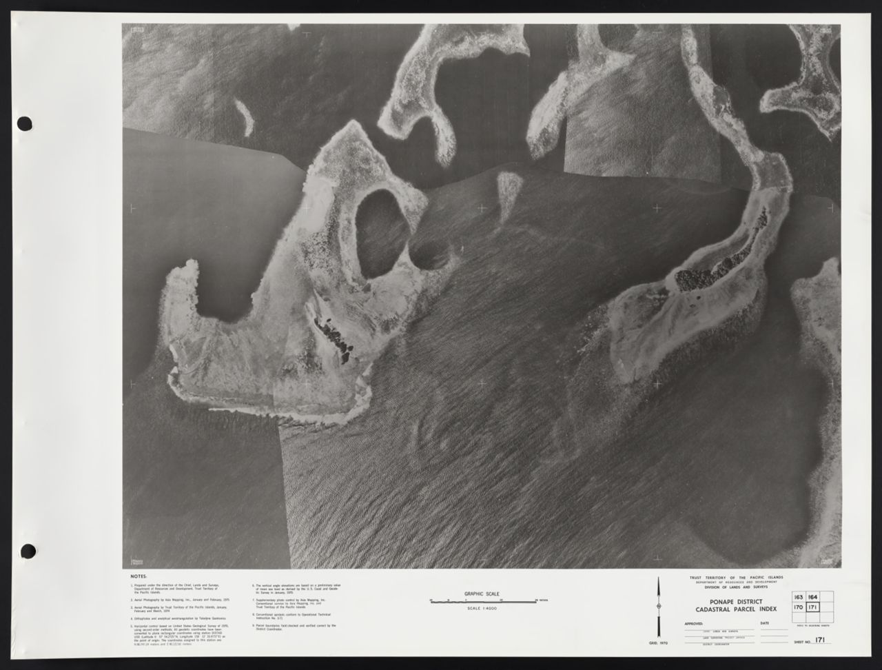
Ponape District Orthophoto Mosaic 1974-1975. Scale 1:4,000. 172 aerial remote-sensing images ; 39 x 52 cm. Published by the Trust Territory of the Pacific Islands, Lands and Surveys Division. Interactive index map created by MAGIS.
Click here for an interactive index map to this set.
For more information, visit Manoa MAGIS
Browse
Recent Submissions
1 - 10 of 172
-
ItemPonape District Orthophoto Mosaic, Sheet 172(Trust Territory of the Pacific Islands, 1975)
-
ItemPonape District Orthophoto Mosaic, Sheet 171(Trust Territory of the Pacific Islands, 1975)
-
ItemPonape District Orthophoto Mosaic, Sheet 170(Trust Territory of the Pacific Islands, 1975)
-
ItemPonape District Orthophoto Mosaic, Sheet 169(Trust Territory of the Pacific Islands, 1975)
-
ItemPonape District Orthophoto Mosaic, Sheet 168(Trust Territory of the Pacific Islands, 1975)
-
ItemPonape District Orthophoto Mosaic, Sheet 167(Trust Territory of the Pacific Islands, 1975)
-
ItemPonape District Orthophoto Mosaic, Sheet 166(Trust Territory of the Pacific Islands, 1975)
-
ItemPonape District Orthophoto Mosaic, Sheet 165(Trust Territory of the Pacific Islands, 1975)
-
ItemPonape District Orthophoto Mosaic, Sheet 164(Trust Territory of the Pacific Islands, 1975)
-
ItemPonape District Orthophoto Mosaic, Sheet 163(Trust Territory of the Pacific Islands, 1975)