Yap Islands 1:10,000, USGS, 1981
Permanent URI for this collection
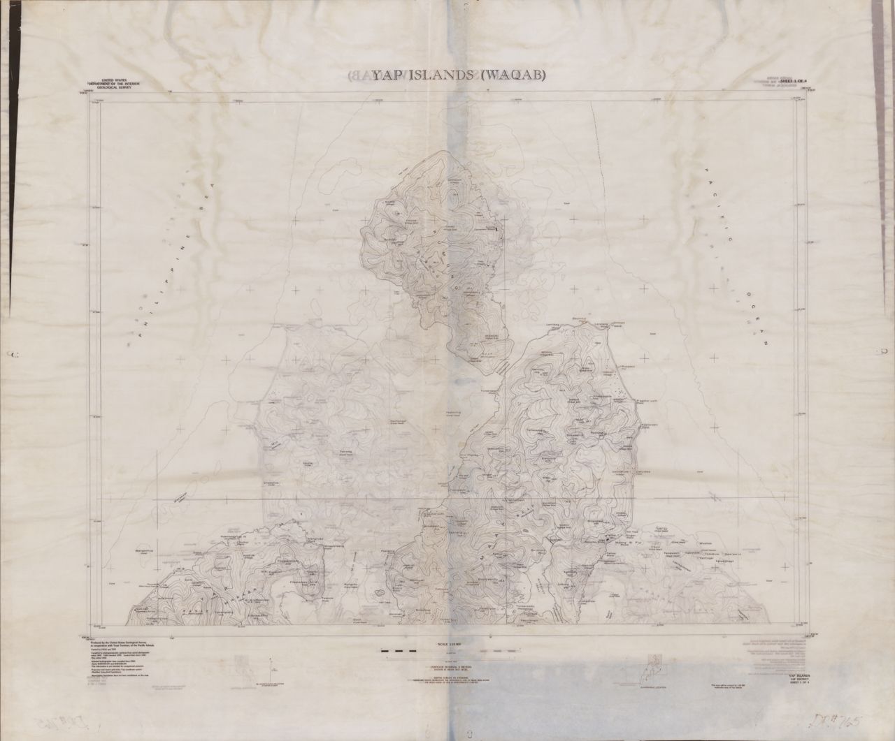
Yap Islands 1:10,000, USGS, 1981. 4 maps ; 75 x 100 cm. Published by the U.S. Geological Survey and the Trust Territory of the Pacific Islands. Damaged in 2004 UHM Library flood. Interactive index map created by MAGIS.
Click here for an interactive index map to this set.
For more information, visit Manoa MAGIS
Browse
Recent Submissions
1 - 4 of 4
-
ItemYap Islands (WAQAB) 1:10,000, USGS, Sheet 4([Reston, Va.] : U.S. Dept. of the Interior, Geological Survey, 1981)
-
ItemYap Islands (WAQAB) 1:10,000, USGS, Sheet 3([Reston, Va.] : U.S. Dept. of the Interior, Geological Survey, 1981)
-
ItemYap Islands (WAQAB) 1:10,000, USGS, Sheet 2([Reston, Va.] : U.S. Dept. of the Interior, Geological Survey, 1981)
-
ItemYap Islands (WAQAB) 1:10,000, USGS, Sheet 1([Reston, Va.] : U.S. Dept. of the Interior, Geological Survey, 1981)