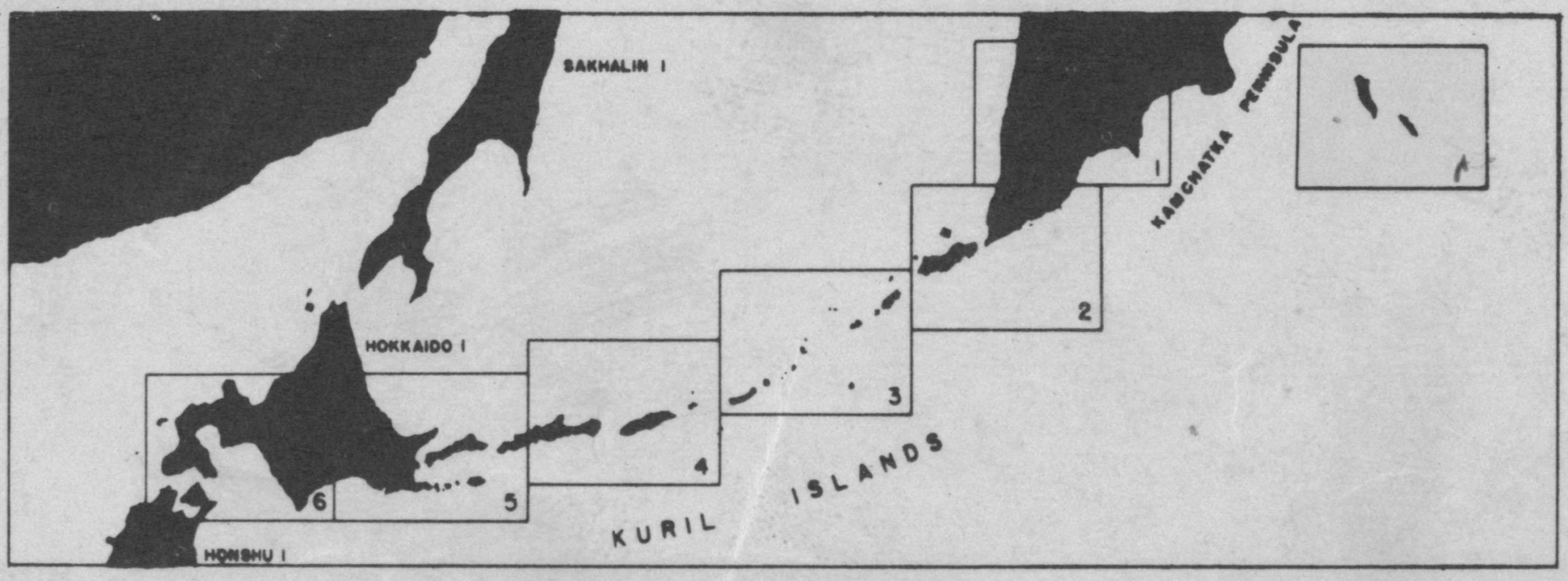
Kuril and Komandorski Islands 1:633,360, 1943

Permanent URI for this collection

These maps are part of a historical series of the Kuril and Komandorski Islands from 1943 issued during World War II by the Army's 64th Engineer Base Topographic Battalion at Fort Shafter, Territory of Hawaii.

Click here for an interactive index map to this set.

Index Map of Kuril Island Series and Komandorski Islands

For more information, visit Manoa MAGIS

Browse

Recent Submissions

Now showing 1 - 7 of 7
  • Item
    Komandorski Islands, 1943
    (Honolulu : Intelligence Center, Pacific Ocean Areas (ICPOA), 1943) United States. Army. Engineer Base Topographic Battalion, 64th.
  • Item
    Kuril Island Series, Sheet 6, 1943
    (Honolulu : Intelligence Center, Pacific Ocean Areas (ICPOA), 1943) United States. Army. Engineer Base Topographic Battalion, 64th.
  • Item
    Kuril Island Series, Sheet 5, 1943
    (Honolulu : Intelligence Center, Pacific Ocean Areas (ICPOA), 1943) United States. Army. Engineer Base Topographic Battalion, 64th.
  • Item
    Kuril Island Series, Sheet 4, 1943
    (Honolulu : Intelligence Center, Pacific Ocean Areas (ICPOA), 1943) United States. Army. Engineer Base Topographic Battalion, 64th.
  • Item
    Kuril Island Series, Sheet 3, 1943
    (Honolulu : Intelligence Center, Pacific Ocean Areas (ICPOA), 1943) United States. Army. Engineer Base Topographic Battalion, 64th.
  • Item
    Kuril Island Series, Sheet 2, 1943
    (Honolulu : Intelligence Center, Pacific Ocean Areas (ICPOA), 1943) United States. Army. Engineer Base Topographic Battalion, 64th.
  • Item
    Kuril Island Series, Sheet 1, 1943
    (Honolulu : Intelligence Center, Pacific Ocean Areas (ICPOA), 1943) United States. Army. Engineer Base Topographic Battalion, 64th.