
General highway map : County of Kauai, island of Kauai, 1978
Permanent URI for this collectionhttps://hdl.handle.net/10524/76133
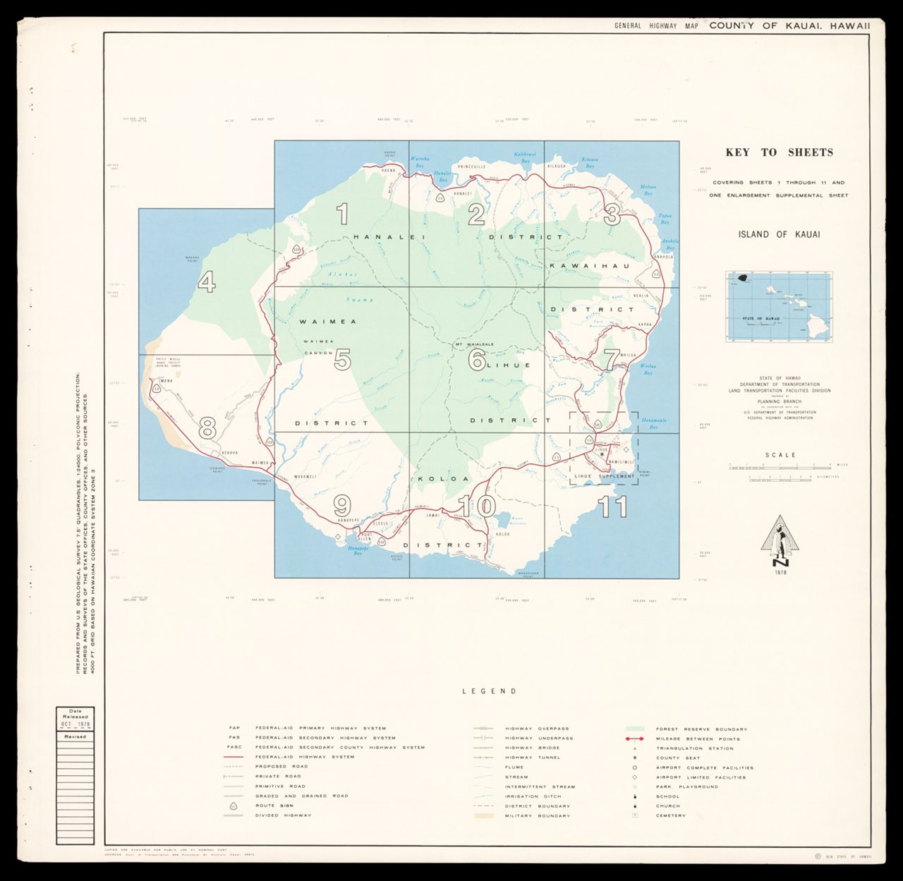
General highway map : County of Kauai, island of Kauai, 1978. Scale of most maps approximately 1:24,137. 13 maps : color ; 58 x 54 cm, on sheets 64 x 66 cm. Key to sheets, 11 maps, 1 supplemental sheet. Relief shown by spot heights. "4,000 ft. grid based on Hawaiian coordinate system zone 3." "Prepared from U.S. Geological Survey 7.5ʹ quadrangles, 1:24,000, polyconic projection; records and surveys of the state offices, county offices, and other sources." "Covering sheets 1 through 11 and one enlargement supplemental sheet." Accompanied by index sheet. ([1] leaf ; 64 x 66 cm.)
For more information, visit Manoa MAGIS